The best day hikes near Sydney
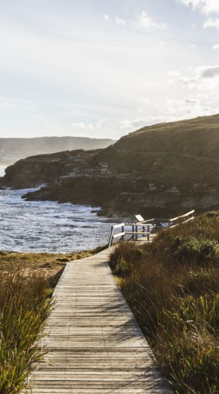
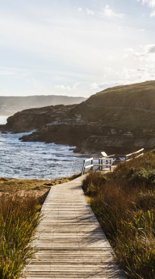
Bouddi National Park in Bouddi, Central Coast - Credit: David Ross
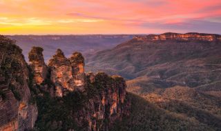


You’ve conquered Sydney’s iconic walks in and around the city, now it’s time to challenge yourself with a longer track just a little further away (perfect for those with cars). Lucky for you, Sydney's surrounding areas have plenty of beautiful terrain.
Where: Royal National Park
Drive to Bundeena Drive car park or take the train and the Park Connections bus for a break from the city. Set out on this stunning stretch of coastal terrain to enjoy a rewarding hike and a refreshing swim in the ocean.
The landscape features heathland, freshwater pools and superb beach views through the Royal National Park, south of Sydney. Keep your eyes peeled for the golden arc of sand at Little Marley Beach. Then after a peaceful oceanside picnic, retrace your steps back to Bundeena Drive.
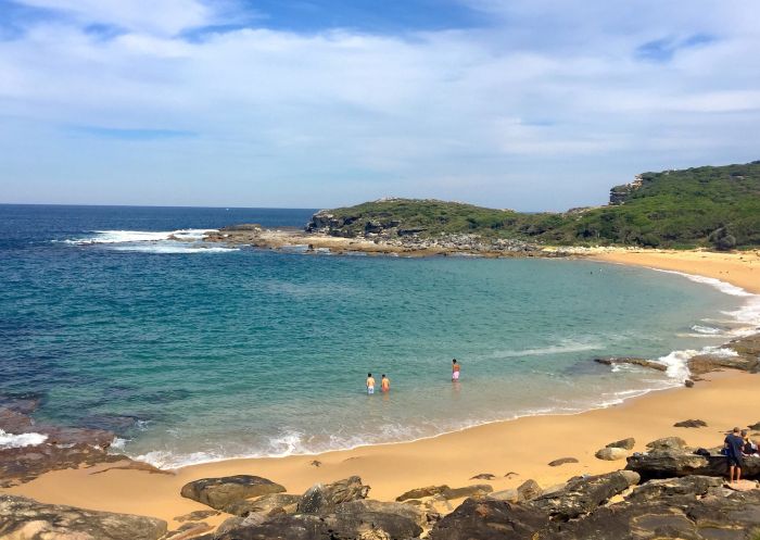
Bundeena, Royal National Park - Credit: Natasha Webb/DCCEEW
Where: Northern Sydney
The Berowra to Cowan trail is the kind of hike that needs more stamina than most. From Berowra train station, this majestic bushwalk takes you along steep inclines and sandstone stairs with plenty of great views. As you head to Berowra Waters you’ll come across small creeks and pristine bushland.
Halfway along the hike, you can cross the river on the car ferry for a bite to eat at a local cafe or restaurant. For those who would prefer to stick to the track, stop at Naa Badu lookout, which means ‘See water’ in the Aboriginal tribal language of the Dharug people. This spot offers a picnic table, natural shade and brilliant views over Berowra Creek as well as Sams and Calna Creeks.
Spend the remaining part of the exploration weaving your way to Cowan train station, past Australian native plants such as the striking scribbly gum and red gums trees. If you’re an experienced hiker, you’ll love the challenge of steep inclines, winding pathways and timber steps.
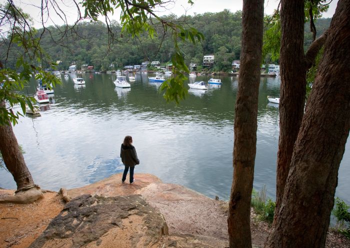
Berowra Valley National Park, Berowra - Credit: Nick Cubbin/DCCEEW
Where: Royal National Park
This hike is a stunning way to connect with nature and is just a short trip from Sydney’s CBD. The kick off is conveniently located at Heathcote train station, where you follow a return path to Uloola Falls in the Royal National Park.
Stop off for a swim and a picnic at the beautiful Karloo Pool and explore the rock outcrops of Uloola Turrets. When you reach Uloola Falls make sure you give yourself plenty of time to enjoy the waterfall and a bite to eat. If you’d like to extend your stay in the bush, camp at the Uloola Falls campground where you’ll fall asleep to the splashing of the waterfall.
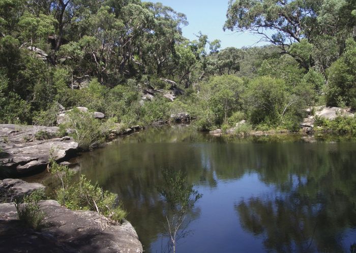
Uloola Falls campground, Uloola - Credit: Andrew Richards | DPIE
Where: Royal National Park
Challenge yourself with Curra Moors Loop Track, an hour's drive south from Sydney’s CBD. The hike takes a loop through the eastern section of Royal National Park, starting from Curra Moors car park on Sir Bertram Stevens Drive.
You’ll trek your way past dense bushland and iconic scribbly gums until you come to the spectacular Curracurrong waterfall. This spot is a great opportunity for lunch and a rest.
From here, take a short detour to Eagle Rock Lookout to enjoy breathtaking sea views and whale watching in June and July. Follow the coastline and loop back to where you began. Curra Moors is wonderful for wildflowers and bird spotting so a picnic rug and binoculars are essential.
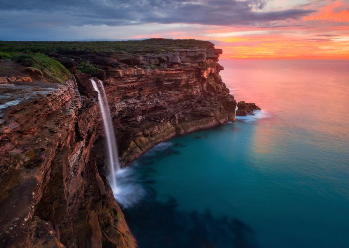
Curracurrong Falls, Royal National Park
Where: Stanwell Park
Venture south of Sydney’s CBD for a hike along the Illawarra Escarpment, a 30 million-year-old rock formation. Start from Wodi Wodi Track at Coalcliff and end up at Sublime Point Track at Austinmer. Both entry points have train stations, so public transport to and from this path is sorted.
This hike highlights the region’s panoramic coast, upland swamps and a tall blackbutt-apple shale forest. Celebrate the end of this challenging hike with a barbecue at nearby Lady Fuller Park where toilet facilities are available.
The track to Sublime Point has a steep turn via a narrow cliff ledge and several ladders. Be prepared for the weather to change suddenly as it often does in this area.
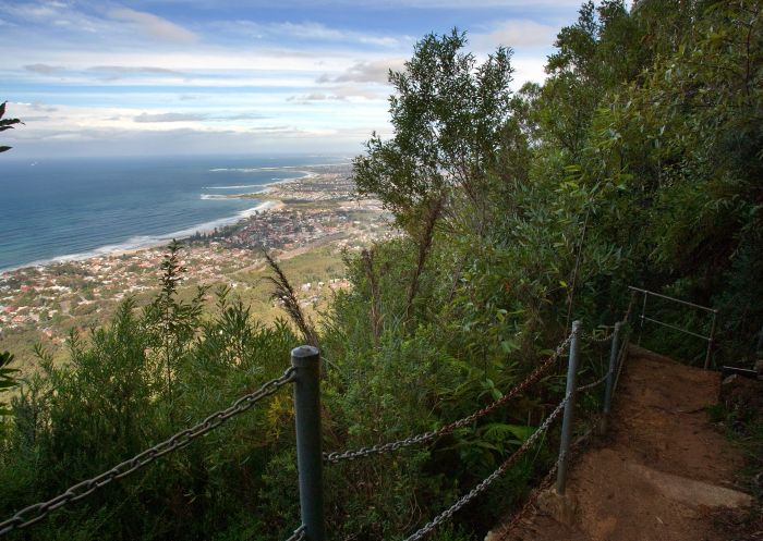
Forest Walk to Sublime Point Track, Illawarra - Credit: Nick Cubbin/DCCEEW
Where: Royal National Park
You’ll love this hike if you’re after a challenging yet spectacular trail. Located near Otford, the track loops from Garrawarra Farm where parking is convenient. Enter a world of calming green and blue shades as you walk by coastal rainforests, and past popular beaches and historic coastal shacks.
Then loop back through a jungle of palms to Werrong Lookout, where you’ll be spoiled with dramatic ocean views and a salty sea breeze, then continue on until you get back to where you started. Note that the beaches along this route might look beautiful, but are not safe for swimming.
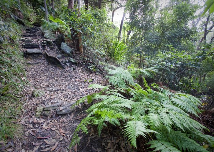
Palm Jungle Loop track, Royal National Park
Where: Central Coast
Have your camera at the ready! Enjoy a coastal walk near Gosford on the Central Coast, just over an hour north of Sydney. Located in Bouddi National Park, this stretch runs from Putty Beach to Macmasters Beach, where you’ll discover panoramic ocean views and idyllic picnic spots.
Take a break at Gerrin Point lookout, a fenced area, where you can sit on a bench and enjoy the views of Maitland Bay and the Bouddi National Park Marine Extension. For an overnight stay, stop at one of the several camping grounds including Putty Beach and Little Beach campground. However, you can easily get this walk done in a day.
Parking is available at the Putty Beach picnic area or you can also take public transport.
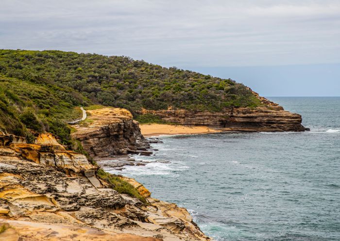
Bullimah Beach, Bouddi Coastal Walk
Region: Ku-ring-gai Chase National Park
Located in Ku-ring-gai Chase National Park, this trail runs through breathtaking bushland to America Bay. Start from West Head Road in the West Head and Basin precincts of Ku-ring-gai Chase National Park where parking is available.
The end destination offers wonderful views across Cowan Waters and a picturesque waterfall. In spring you’ll see an abundance of wildflowers. No matter what the season, pack a picnic rug for a perfect off-the-beaten-track picnic spot.
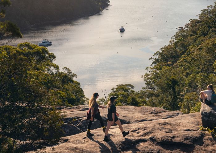
America Bay Walking Track, Ku-ring-gai Chase National Park
Stay connected to Sydney for all the latest news, stories, upcoming events and travel inspiration.
All the insider news, tips and inspiration you need to plan your next trip, delivered straight to your inbox.
Sign UpSydney.com is the official tourism site for Destination NSW.
© Copyright 2026 Destination NSW. All rights reserved