Eight of the best mountain biking trails in Sydney
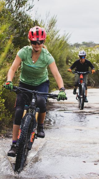
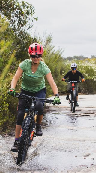
Women enjoying a day on the bike track at Manly Dam, Manly Vale


Destination NSW
The circuit at the Manly Dam is arguably the most popular in the state and often considered Sydney's best mountain biking trail by riders. Anybody who's had a chance to ride here will understand why.
Cyclists are treated to lovely views of Manly Dam and Middle Harbour, and there's a range of terrain, including roots, sandy areas and tricky technical bits. The length of the circuit allows for a little something for everybody, from longer cruises to steep, difficult rocky slopes. Beginners shouldn't be afraid to hop off and walk if things get too difficult. Expect to pop in and out of bushland and ride across small bits of paved road.
Because of its stature as one of the best MTB trails in Sydney, you'll often have plenty of company when riding, which means it can get quite busy and potentially a bit nerve-wracking for newbies. It also means a lot of wear and tear from riders, forcing closures during the winter and other rainy periods.
When you've worked up an appetite, make a quick stop back at the car for a change, grab your rations and ride down Sir Rodan Cutler Drive along Manly Dam Lake. There you'll find wood and electric barbecues and swimming spots for a brisk cool off. Don't fancy a do-it-yourself operation? There are dozens of fantastic Manly food and drink options and the sea just a few kilometres away.
Getting there
There are multiple access points along the trail, many of which feature parking, making it easier for you and your crew to get into gear. The southern end of Gibbs Street (where it connects to Sunshine Street) is a good access point if you can find a park. Otherwise try to snag a spot at King Street, where it meets Arana Street at the Manly Hydraulics Laboratory. From there it's a short ride to the aforementioned Gibbs Street trailhead. Other entrances with nearby parking can be found at the western end of Nyrang Road, the corner of Water Reserve Road and Kimo Street, and the northeastern section of Kirkwood Street.
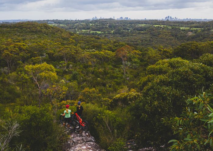
Manly Dam, Manly Vale
With a name like Cascades, you better believe you're going to get an eyeful of waterfalls. This off-road track in Garigal National Park is excellent for those who want to get out for a ride and don't want to worry about the dreaded bonk. You don't need to know how to calculate the angles of a big jump or corner with the best of them on this gentle track. While simple and straightforward enough, there are a few tough climbs for which riders should be ready. The trail has two entrance points. You can start at the north end in St Ives and ride down toward Davidson or vice versa.
One important thing to remember is that walkers and horseback riders also make good use of this amazing track, so it's important to be mindful of non-cyclers. Once you're there, you'll see why. While not a long trail, there are plenty of great points to hop off your two-wheeled steed and marvel at waterfalls and gorgeous natural rock formations. The juncture of Middle Harbour Creek and Frenchs Creek is a particularly lovely picnic spot.
Getting there
In St Ives, the ride starts on Douglas Street near Acron Road. If you're starting down in Davidson, you'll find a trailhead on Stone Parade. Both access points have nearby street parking. If you want to tack on some extra kilometres to your journey, the northern section of Cascades links up with the Heath and Bare Creek Trails, which offer even more Garigal National Park goodness.
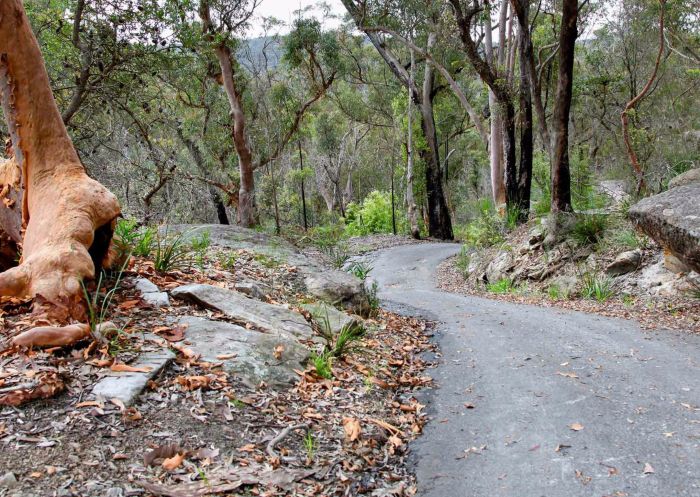
Cascades Trail, Sydney North - Credit: Shaun Sursok
The Hornsby Mountain Bike Trail, often known as Old Man's Valley to seasoned riders, is just a hop, skip and a ride from Hornsby in Sydney's upper north shore. This collection of routes has a little something for everybody, with rides covering the spectrum of riding ability. With updates and additions in recent years, this has grown into one of the most beloved and best MTB trails in Sydney.
Most of the riding area is one way, so be sure to mind the signs. The track's portions of boardwalks and berms makes for a more free-flowing experience for riders than some other options, though there are a few small stretches with technical bits for those who want to test their skill. You'll find sections for the most advanced riders in the southwest part of the trail. These aren't the most difficult rides, but they do offer up a few drops and rollers. Novice riders need not worry, as these black-graded chunks of trail are easily avoided. The mountain bike trail doesn't impact the greenery of Old Man's Valley, which remains intact and transports riders from a busy Sydney suburb into gorgeous bushland in a matter of moments.
Getting there
Part of what makes this ride so great is the features off the trail. You're only about 600m from Hornsby Train Station, so you can leave the car keys at home if you'd like. Alternatively, you can park toward the southern end of Quarry Road, just off Dural Street, or the Dural Street car park. You also won't be far from a post-ride coffee and croissant or refreshing cold beverage depending on when you wrap up your ride.
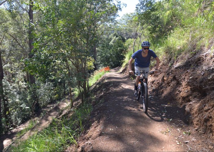
Hornsby Mountain Bike Trail, Hornsby
Located in Belrose in the Northern Beaches, Bare Creek Bike Path is one of only a few freeride parks in Australia, right in the heart of Sydney. Built in 2019 on the site of a repurposed rubbish tip, the area is now council-run and free to access. Featuring 1.6km of downhill bike trails, flow trails, skills and dirt jump areas, and a pump track – not to mention a dedicated access road, toilets, drinking fountains and bike maintenance stations to make your day out as care-free as possible – this is your one-stop shop for practicing putting some air beneath your tires.
The track is suitable for all levels, with less experienced riders able to start on the pump tracks and skills area before working through a progression zone and then tackling the advanced gravity trails. Children under the age of 16 must be under the direct supervision of an adult.
Getting there
Parking for up to 40 cars is available. Overflow parking is available on nearby streets. Ride in via the shared bike/walking path.
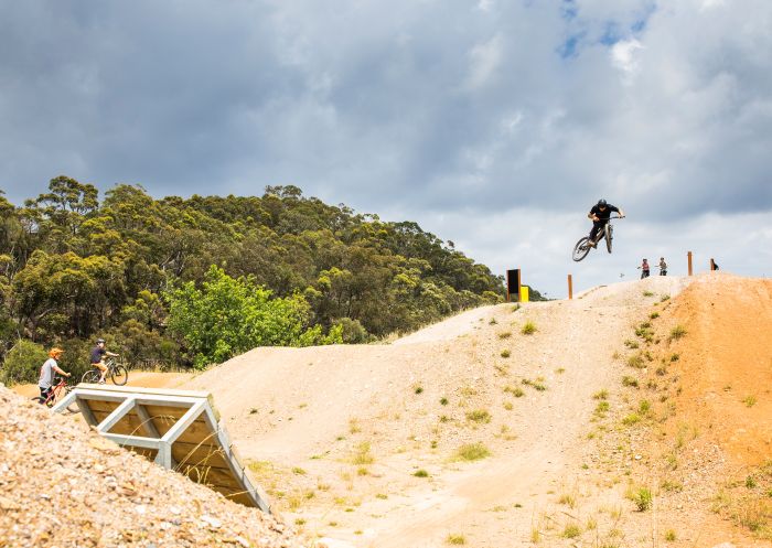
Bare Creek Bike Park, Belrose
A grassroots mountain bike love story, the Mill Creek MTB Trails in Lucas Heights provide a range of one-way mountain biking trails for those in Western Sydney who want to get the blood pumping. While many of the other top MTB trails in Sydney have been carefully developed and maintained by professional outfits, this network is kept in tip-top shape by hard-working volunteers coordinated each month by the Sutherland Shire. Maybe give them a silent salute as you cruise through. Because of this, you won't find many of the unnatural features of other trails.
Ridden without permission by mountain and motorbikers for years, the area is now under council supervision, which has helped bring a more stable, dependable presence to the area. The rocky sandstone attributes that attracted riders from near and far are still present, but they've been tightened up and reinforced for a more welcoming riding experience. The loosest high-flyers and speed demons will get a special kick out of riding routes with names like Methane Alley, Toxic Flow, Black Hawk Down and Hit the Turps. Beginners might need to hop off and walk more challenging areas.
Getting there
There's only one entrance to the network (onto Methane Alley), located on Little Forest Road. Park in the ANSTO car park just off of Old Illawarra Road. Cross New Illawarra Road and head up Little Forest to start your ride.
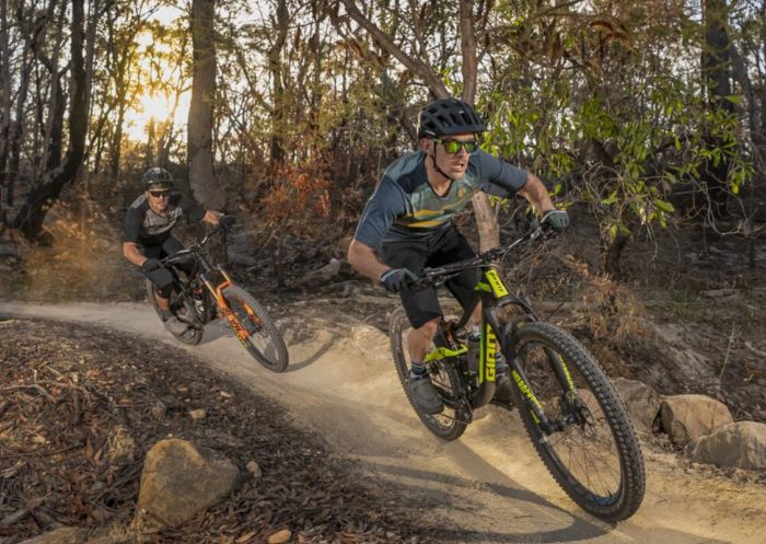
Mill Creek MTB Trails, Lucas Heights - Credit: Shimano Australia
Tucked among the 5,280 hectares of the stunning, sprawling Western Sydney Parklands, the Wylde MTB Trail is a great option for those who want to give the legs a workout. Less an adrenaline hit and more an offroad peddler's paradise, you won't find the giant jumps and technical scrambling of some other mountain bike networks. But you will find an excellent place for a more relaxed ride, whether you're out solo or getting amongst it with the kids in tow. The trails are outfitted with clear signage that points you towards easier and more difficult lines.
The amenities around this site make Wylde one of the best Sydney mountain trails for families. Riders can cut this circuit short at 3km, 6km and 9km points if the full 12km seems too big an ask. There are toilets a short ride from the trailhead, as well as bubblers and picnic areas with tables, providing plenty of places to recover with some post-ride Vegemite sandwiches.
For those looking to hone their craft, the park also has a jump run with take-off mounds and steps and a pump track for those looking to shave some seconds off the PBs. These are located near the trailhead, along with a bike washing station so the car doesn't get too mucked up. Since it sits among the expansive Parklands, there's a good chance you'll be sharing the trail with kangaroos and other furry friends.
Getting there
Entrance to the trail is located on Range Road, off of Elizabeth Drive, in Cecil Park. You'll find a heap of parking spots near there, so no need to scout a route to the trailhead.
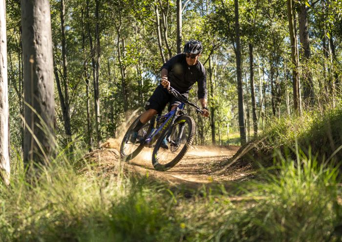
Wylde MTB Trail, Cecil Park
Two relative newcomers to the Sydney mountain biking scene, these two trails located in the Bantry Bay Valley of Garigal National Park have quickly taken their place among the best in the state. Gahnia and Serrata became the first purpose-built MTB tracks in a NSW national park when they were created in 2014. Builders were restricted to using hand tools in order to ensure minimal environmental impact on this revered ground. That's left a gorgeous track full of natural, craggy features and towering trees.
Serrata is full of natural sandstone making it sturdier than other tracks. While considered by most to be shorter and easier than Gahnia, multiple route options open opportunities for riders. There are plenty of sections featuring steep drops as well as gentler, smoother detours, giving MTBers the chance to switch up their rides. Not sure if you're up for it? The 30m of test track at the outset will let you know if this is the ride for you.
The Gahnia mountain bike trail is another rocky road featuring a lot of scrambling best suited for those with years of riding experience. A lot of stop and go makes it bad for those who prefer a freer ride. Its 50m filter track gives riders a chance to see if they're up to the challenge.
Getting there
Use the street parking at Grattan Crescent and hop on the Bluff Trail/Bluff Track at the southern end of the road. Follow it (turning left at the T) until you see the entrance to Gahnia on your left. Once you finish, you can ride about 2.5km (North on the Engravings Trail/Bantry Bay Road, left on Yarraman Avenue/Rangers Retreat Road, left on Kanya Street and follow it as it curves to the right and becomes Parni Place, then left on Maxwell Parade and left onto Currie Road) to the start of Serrata. Alternatively, park on Currie Road near the head of the Curry Street Trail and follow it south until you hit the start of Serrata.
Stay connected to Sydney for all the latest news, stories, upcoming events and travel inspiration.
All the insider news, tips and inspiration you need to plan your next trip, delivered straight to your inbox.
Sign UpSydney.com is the official tourism site for Destination NSW.
© Copyright 2026 Destination NSW. All rights reserved