














Parramatta River Walk


Highlights
- Scenic riverside trails through Sydney’s historic waterways
- Themed maps offer insights into local sights and landmarks
- Cafes and eateries along the way for relaxing pit stops
Overview
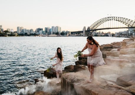
The Parramatta River Walk is actually a series of linked walks that begin on the northern side of the river at Woolwich Wharf or on the southern side at Birchgrove Wharf, and end in Parramatta at the junction of Toongabbie Creek and Darling Mills Creek. Trails range from around 3.5 kilometres to 8.5 kilometres in length, and have varying levels of access and difficulty. But all are scenic, and offer a watery view of this beautiful part of Sydney.
For additional insights, download themed trail maps that offer commentary into the sights you’re seeing while you walk on the City of Parramatta website.
While it’s always good to carry water, there are plenty of restaurants and cafes to stop at along all the routes, so you can refuel and enjoy the view before setting off again.
Get in touch
More Like This
Location
FAQs
Accessibility
Disabled access available, contact operator for details.